Land surveying
| WE MEASURE THE SURFACE |
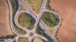
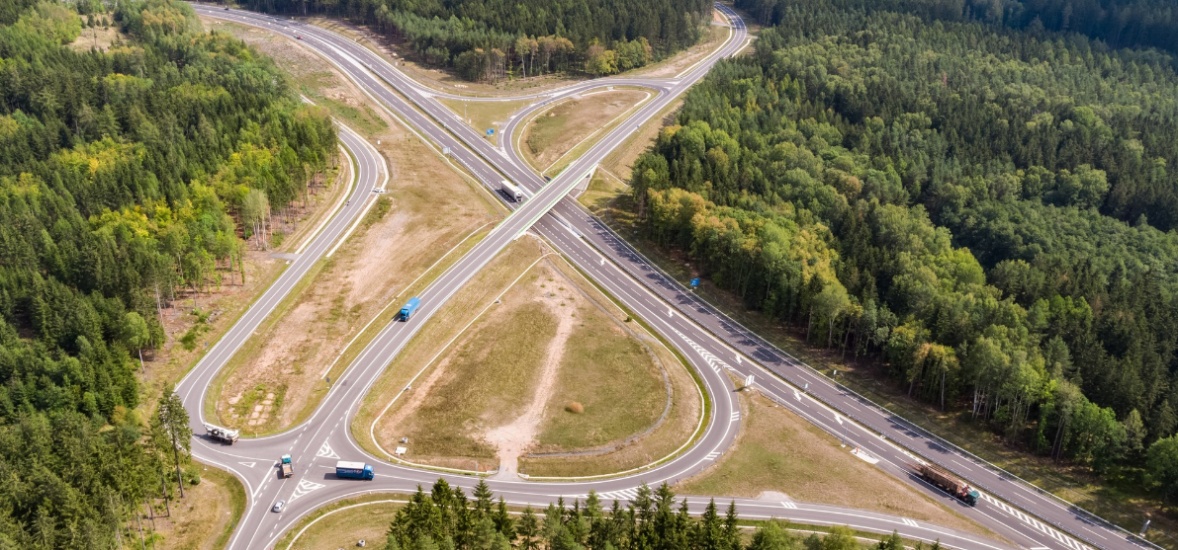
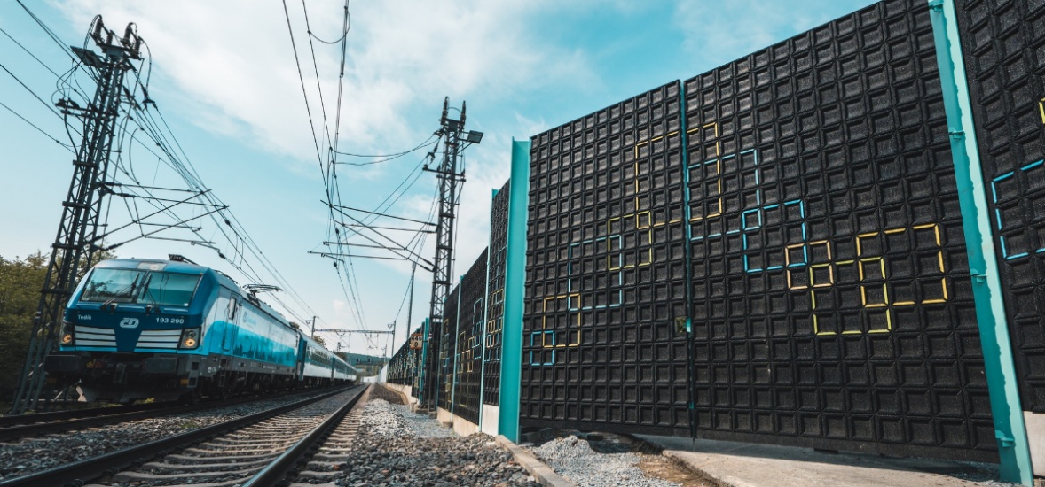
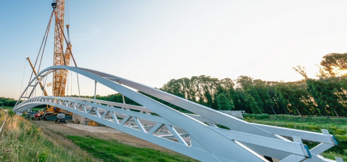
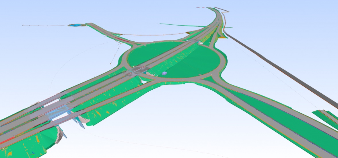
| Our Valbek Land surveying Group offers building project preparation in the stages of technical study (TS), planning decision (DÚR), building permit (DSP) and contract and construction documents (PDPS). We process geodetic map documents (specialist maps of the existing state, DEM), geodetic documentation and separate annexes to the PD ( demarcation drawings, ZVS). We cooperate during engineering-geological surveys (IGP) and geotechnical investigation (GTP) (demarcation/surveying of exploration objects). We delineate utility networks and assist in property rights preparation – Cadastre of Real Estate documents, land take documentation, geometric plans. During the construction, we can plot the buildings (licensed surveyor – Contractor), provide geodetic documentation of the actual design / GDSPS, and create geometric plans based on the scanning, mark the implemented structures or easements. We offer technical and geodetic supervision of the construction, licensed surveyor-Contractor. |
| For existing buildings or as support for management and maintenance, we can geodetically monitor the building or unstable subsoil. We carry out technical condition inventory surveys of the building, green areas, road markings or road flatness. We create base maps of roads or production areas in line with a unified system and connections to other infrastructure. We are authorized to perform geodetic activities in construction, authorized to verify geometric plans and authorized to work on railways. We work in RIB Software – iTWO, AUTODESK, Leica Geosystems, Bentley PowerMap and GRAMIS / QGIS. From conventional surveying to laser scanning to UAV aerial mapping, we are technologically at a very high level. |
| #valbek #geodezie #landsurveying |
   |
Land surveying
| Ing. Lukáš Hruboň, MBA | |
| CEO & Chairman of the Board of Directors Valbek group |
|


| Ing. Ladislav Jarůšek | |
| Head of Land surveying Group Liberec |
|
Realizace


Geodetic documentation of the exact design, laser scanning

Geodetic monitoring of operating buildings, laser scanning


Laser scanning


UAV mapping


Buildings project preparation


Construction layout
| Navazující |
| Obory |


ZAJÍMAJÍ VÁS PŘÍBĚHY Z NAŠEHO OBORU?
Along the bustling streets of Malmö and in the heart of Gothenburg, Valbek Sweden has opened its doors to two new insp...

K. Jiroušová
08/05/2024


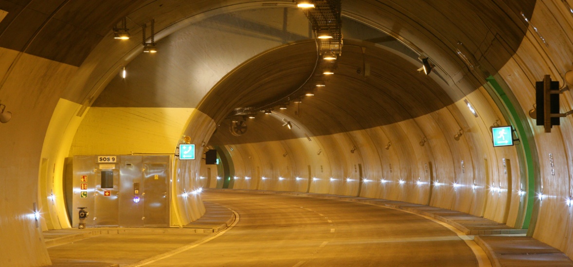
Bridges and tunnels play a key role in construction and infrastructure development. Behind every one of these small, l...
B. Klímova
27/02/2024

This time we talked to Magdalena Kopecka, a planner who is responsible for assessing the impact of planned buildings o...
N. Kozohorská
24/01/2024
|
Valbek, spol. s r.o.
|
Sectors
|
Documents
Billing e-mail
Please send invoices to: recepce@valbek.cz |
EU Operational Program
|
|||||||||
|
© 2024 Valbek.CZ. All Rights Reserved. |